The Map Is the Message: How Redistricting Software Chooses Voters Before They Choose Anyone
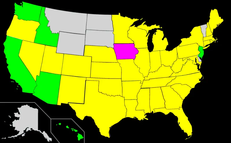
Photo: Orser67, CC BY-SA 3.0, via Wikimedia Commons
The 2026 midterms have ended, but the maps that shaped them were drawn years earlier. In most states, the critical decisions were made not in voting booths but in conference rooms, where consultants loaded census data into mapping software and adjusted boundaries block by block. Redistricting is often described as a technical necessity—a decennial chore of equalizing population. It is also the point at which a self-governing republic decides which voters will be represented and which will be divided into irrelevance.
A Technical Process With a Political Output
Every ten years, the census resets the apportionment of seats. State legislatures, commissions, and courts then draw new districts for Congress and state legislatures. The tools are powerful: geographic information systems, precinct-level election returns, voter files, and demographic projections. A consultant can test dozens of maps in an afternoon, measuring partisan performance, incumbent protection, and compliance with legal thresholds. The same tools can make the process more transparent—or more precise in its manipulation.
The vocabulary of the trade is blunt. To pack voters is to concentrate them in a district they will dominate but not exceed. To crack them is to split them across districts where they will be outvoted. Software does not invent those strategies, but it makes them faster and more exact. An algorithm does not need a partisan agenda; it needs parameters. The agenda arrives with the people who set them.
The Doctrine That Shields the Map
The legal landscape is patchwork. In Rucho v. Common Cause, the Supreme Court held that partisan gerrymandering claims are not justiciable in federal court, leaving the issue to state courts, state constitutions, and political remedies. The Voting Rights Act still constrains maps that dilute minority voting strength, and cases such as Allen v. Milligan have reinforced those protections. But the result is a system in which the rules depend heavily on where a voter lives. Some states have independent commissions; others leave the pen with the legislature. Some courts have struck down maps under state constitutional provisions; others have declined to intervene.
That patchwork is not merely a legal inconvenience. It means that the same act—drawing a district line—can be insulated from review in one state and subject to years of litigation in another. For citizens, the practical question is whether anyone with authority will ask the mapmakers to explain their choices.
The Software Is Not Neutral
The technology itself deserves scrutiny. Mapping platforms can be used to publish draft maps, invite public comments, and compare alternatives. They can also be used to simulate partisan outcomes with disturbing precision. When a legislature hires outside consultants, the public may never see the data layers, the version history, or the criteria used to select one map over another. Contracts can shield the work product. Hearings can arrive after the key decisions are effectively final.
This is a freedom problem as much as a fairness problem. Self-government depends on the ability of citizens to inspect the machinery that structures their representation. If the map is produced by a proprietary algorithm and defended by a legal doctrine of non-justiciability, the voter is left with a ballot but little ability to contest the boundaries of the contest.
What Citizens Can Do
There are practical responses. States and localities can require public access to the same mapping data used by consultants, publish version histories, and hold hearings before draft maps are adopted. Independent commissions are not a cure-all, but they can reduce the conflict of interest that arises when legislators choose their own districts. Public mapping competitions have shown that ordinary residents, given the tools, can produce serious alternatives.
Litigation remains important, especially under state constitutions. Ballot initiatives can change the process. And local redistricting—for city councils, school boards, and county commissions—often receives far less attention than congressional maps, even though it shapes daily governance. The next round begins after the 2030 census, but the groundwork is being laid now. The question is whether the public will have the data to see the map before it becomes the message.